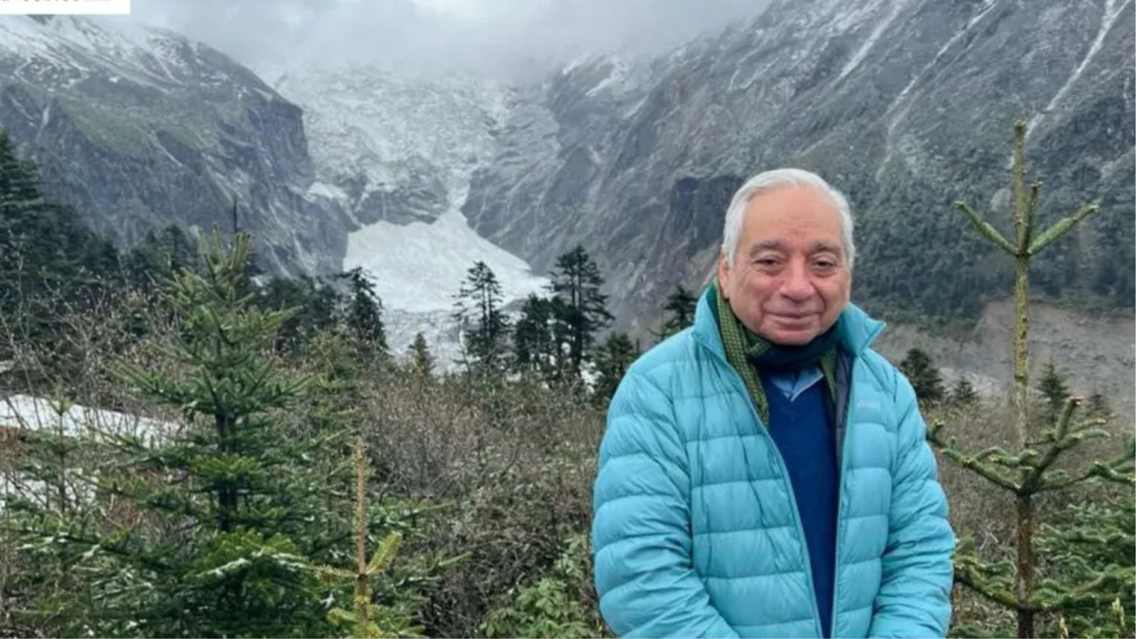
Artificial intelligence and advanced mapping technologies could play a role in identifying areas vulnerable to disasters such as floods, according to biodiversity and climate scientist Kamal Bawa.
Bawa, who has conducted extensive research on biodiversity conservation and climate change in the Himalayas, said events such as the recent Nepal-Tibet floods can be difficult to predict, but improved scientific tools could help identify potential risks and support preparedness.
AI can process large amounts of environmental and geographical data, potentially helping researchers identify patterns associated with hazards such as flooding, landslides and other climate-related events.
Satellite imagery, terrain information, weather data and historical records can be combined to create detailed maps showing areas that may face higher risks. Such information could help authorities improve disaster planning and identify vulnerable communities and infrastructure.
The technology can also assist biodiversity conservation by processing large datasets and monitoring changes in ecosystems over time. This can help researchers understand how climate change and human activity are affecting fragile environments, including those in the Himalayan region.
However, AI-based forecasting depends on the quality and availability of data. Complex natural events can also involve multiple interacting factors, making accurate prediction challenging.
Bawa has worked extensively on Himalayan ecosystems and climate-related issues through his research and environmental initiatives. His work has focused on strengthening scientific understanding of biodiversity and environmental change.
The growing use of AI in environmental research could therefore provide additional tools for disaster-risk assessment and conservation, while traditional scientific monitoring and local knowledge remain important for understanding complex ecological and climatic conditions.
Technology
AI Could Help Map Disaster Hazards, Says Kamal Bawa
AI and advanced mapping tools could help identify disaster-prone areas and improve preparedness for floods and other hazards, says Kamal Bawa.